
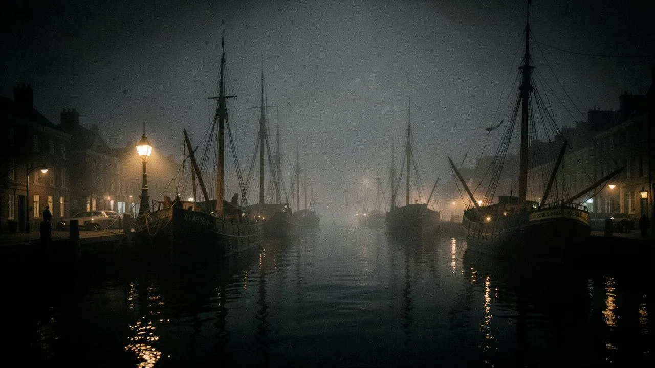
Building the riverside district
How distance, fog and gaslight turned a collection of streets into a place worth investigating.
A district built around sightlines
The riverside district began as a map of routes rather than a collection of buildings. Every street needed to reveal one useful detail while keeping another out of reach.
We used the river as a constant point of orientation. Its sound carries through alleys, while reflected light helps the player understand how far they have travelled without relying on a minimap.
What changed in testing
- The central quay became narrower and more crowded.
- Gas lamps were moved to mark decisions rather than destinations.
- Background traffic was reduced so individual footsteps could be read clearly.
The result is quieter, but also more deliberate. The district now feels like a place that existed before the investigation began.
Further entries
- 005Writing consequences without scorecardsWhy the game remembers tone, timing and silence instead of reducing an interrogation to a score.
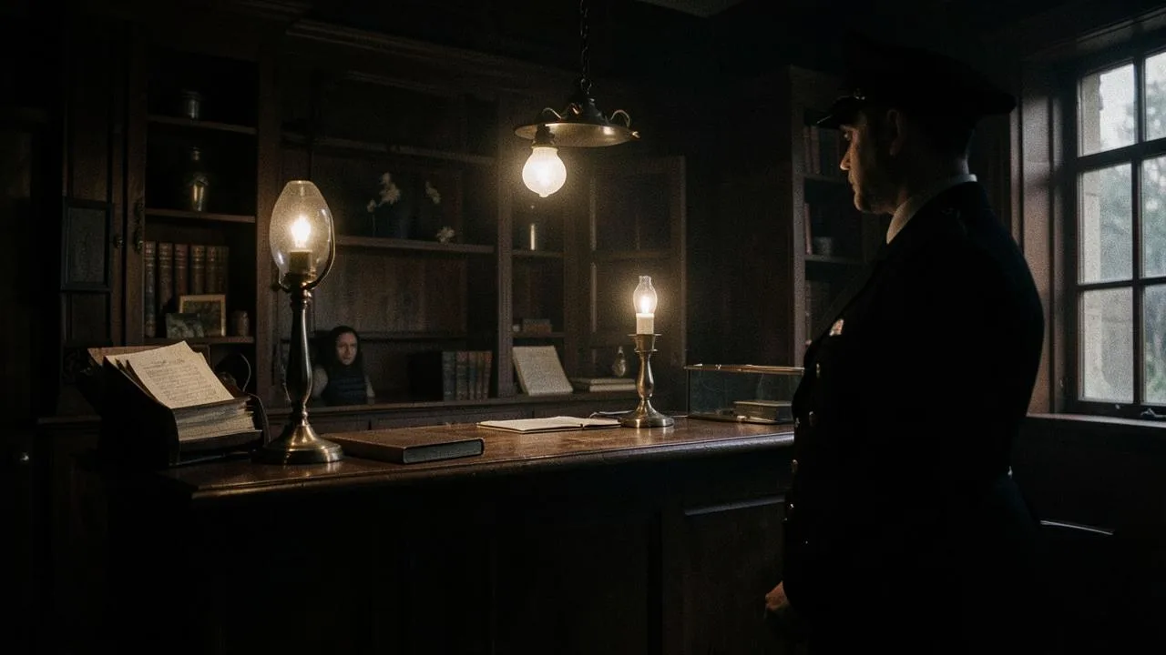
- 006Lighting London in 1897Gas, oil and early electric light each tell a different story about class, power and safety.
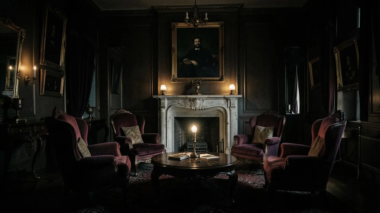
- 002Questioning without a right answerWriting conversations where silence carries as much weight as a question, and no option is simply correct.